Aerial Services
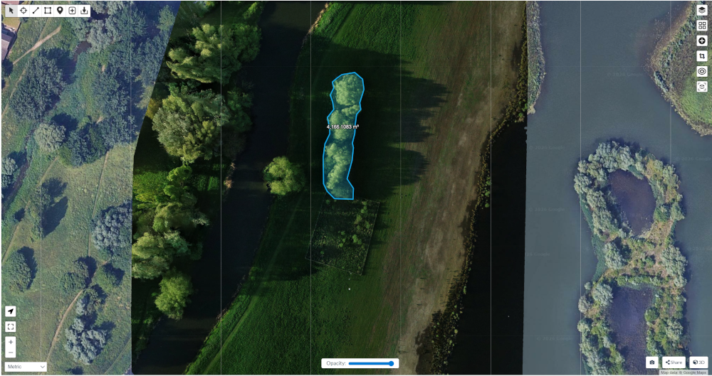
Arboreal and Riparian Surveys
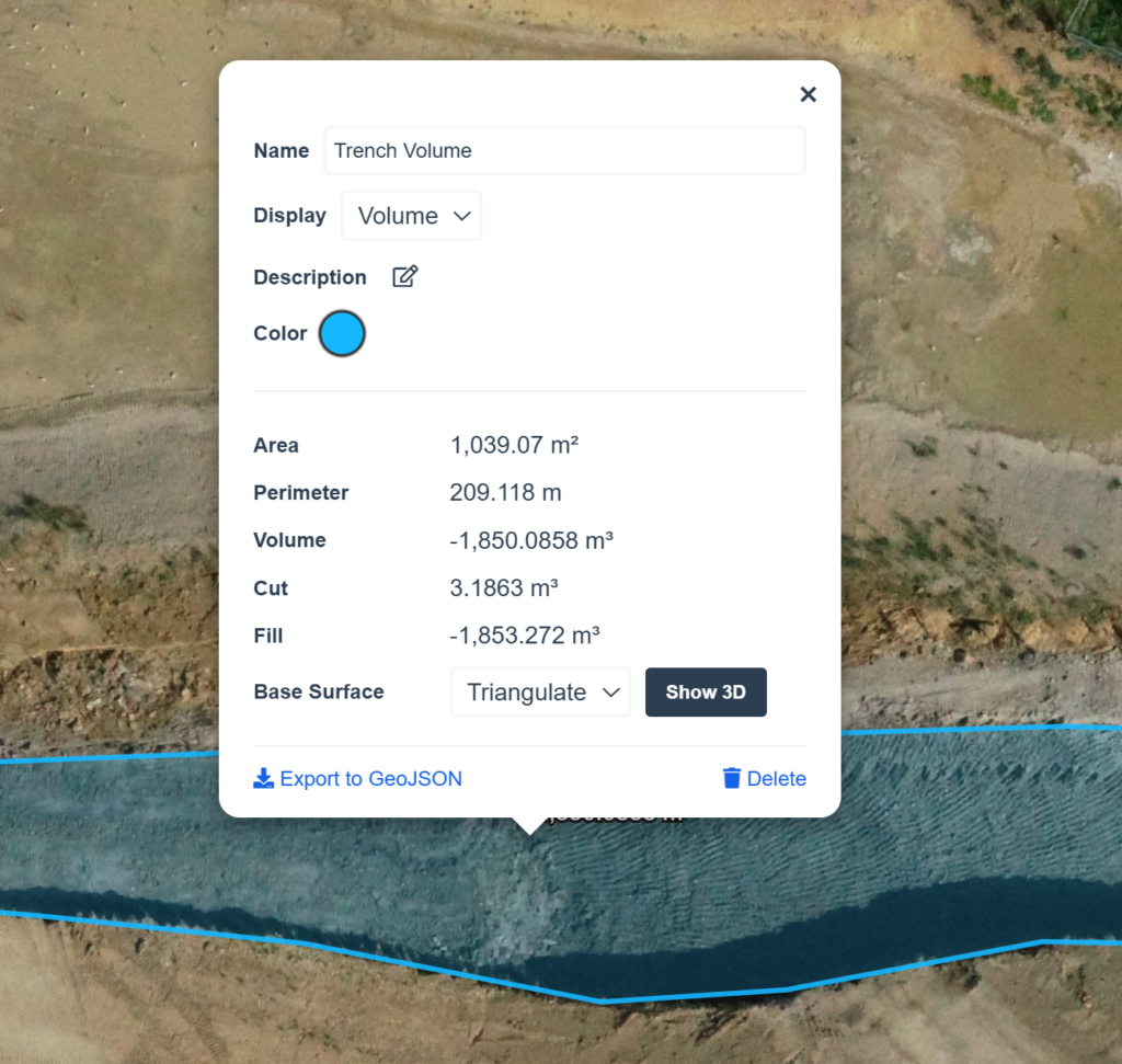
Detailed aerial surveys capture vegetation structure, canopy extent, and riparian corridors, enabling robust biodiversity assessment, habitat monitoring, and environmental management using accurate, repeatable geospatial data.