Image Hosting & Delivery
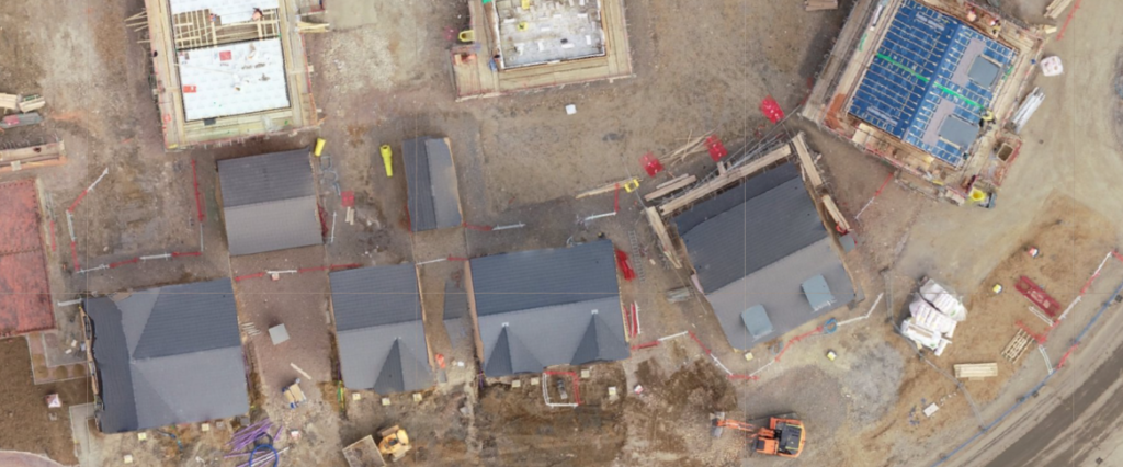
High-resolution drone imagery and mapped outputs can be difficult to share through standard file transfer methods. GeoMapDrone provides hosted access to selected project deliverables, allowing clients to view, review and share aerial survey outputs through an online interface. Hosted content may include orthomosaics, inspection imagery, progress photography, 3D models, point clouds and other mapped outputs, […]